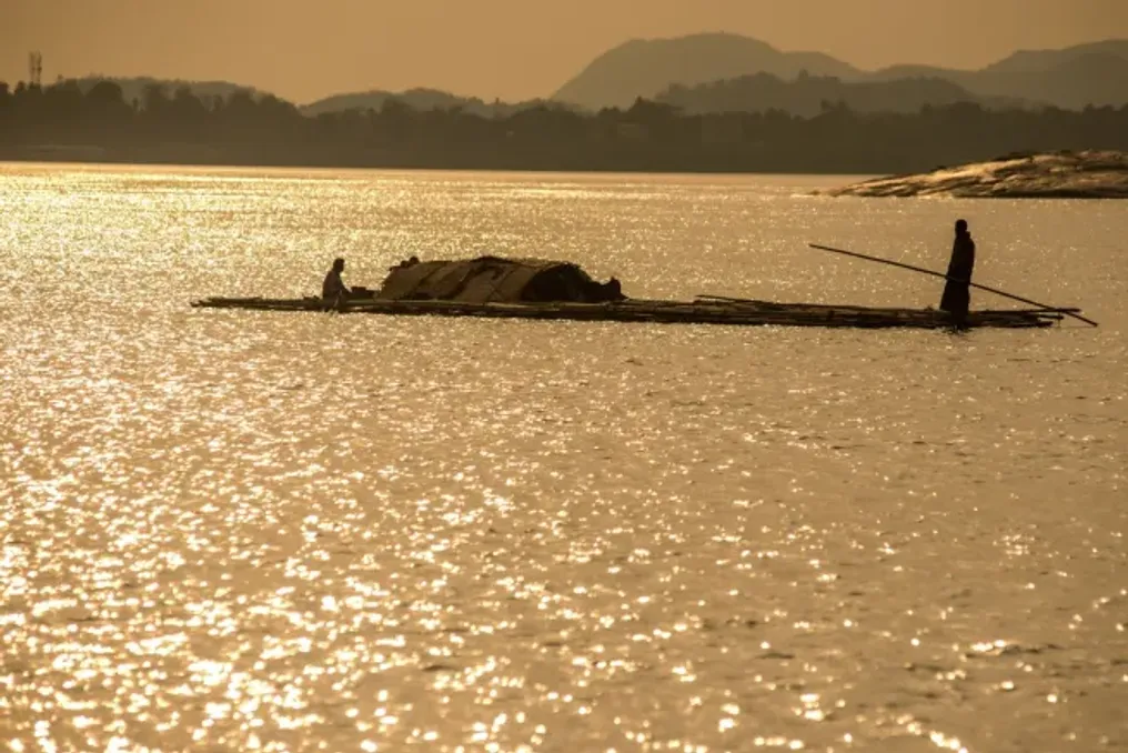
Researchers have discovered the cause of frequent groundwater contamination with toxic elements in one of the world's most densely populated river basins. A new study of the Brahmaputra River basin in Northeast India showed that the physical arrangement of sand and clay deep underground determines whether the water in village wells is life-sustaining or potentially deadly.
Analyzing the distribution of pollutants such as arsenic and nickel, scientists from the Indian Institute of Technology (IIT) in Kharagpur, CSIR-National Institute of Oceanography (CSIR-NIO), and Bhabha Atomic Research Centre (BARC) developed a new roadmap for finding safe drinking water in regions where natural Earth geological processes cause contamination and pose a constant threat.
For decades, the Brahmaputra River basin has been considered a hotspot for groundwater pollution, yet the distribution of these toxins remained unpredictable. One well might be safe, while another, located only a few hundred meters away, contained arsenic levels significantly exceeding the World Health Organization's limit of 10 micrograms per liter. The new research explains that the key to understanding lies in the heterogeneity of the aquifer—a complex, layered structure of sediments deposited by the river over millennia.
Scientists found that the presence of thick, heavy clay layers functions as a biogeochemical sieve, fundamentally altering the chemical composition of the water trapped beneath them. In areas where underground aquifers are predominantly sandy and exposed to the surface, oxygenated rainwater easily seeps downwards. This oxygen keeps toxic elements such as arsenic, nickel, iron, and manganese on the mineral surfaces.
However, when a thick layer of clay sits above the aquifer, it acts as a filter, preventing the penetration of new oxygen. In these oxygen-poor and reducing environments, specialized bacteria break down organic matter and remove oxygen from mineral structures. This leads to the dissolution of minerals and the release of trapped arsenic and nickel directly into the groundwater.
The team conducted extensive field tests along a 90-kilometer stretch of the river, taking samples from 114 wells and drilling ten deep boreholes to study the deposits. A significant difference was identified between the northern and southern banks of the Brahmaputra. The northern bank is characterized by sandy alluvial cones formed by the slowing of fast-flowing water from the Himalayas, which promotes better water drainage and generally lower contamination levels.
In contrast, the southern bank is dominated by thick, ancient clay beds. These southern clay traps create much more intense reducing conditions, leading to significantly higher concentrations of arsenic, sometimes reaching 400 micrograms per liter, which is 40 times the safe limit. Earlier models, such as those used for the Ganges-Brahmaputra-Meghna delta, assumed that modern water abstraction was the primary cause of pollution. However, this new study asserts that the dominant factor in the Brahmaputra basin is the natural geological structure, specifically the location of the clay layers.
Scientists are close to creating a predictive model at the individual well level, which can help local authorities determine the exact location for drilling to ensure safety. The study also notes that massive seasonal fluctuations in the Brahmaputra River level during monsoons can cause vertical displacement or migration of redox zones. Furthermore, researchers emphasized the need for more quantitative sedimentological data, meaning more detailed mapping of grain sizes and mineral types, to improve predictive models.
In India, over 70 percent of the population relies on groundwater for daily needs. Contaminated water endangers millions of people from chronic poisoning by arsenic and nickel, which can lead to cancer, cardiovascular, and neurological diseases, especially in children. By identifying that the clay geology of the southern bank represents a natural high-risk zone, this study provides an evidence base for mapping aquifers. This allows the government and local communities to target the search for safer, sandy depths for new wells and avoid dangerous reducing zones created by clay. Thus, the study offers a practical tool for ensuring sustainable and safe drinking water for one of the planet's most vulnerable populations.