According to astronomical experts, the rising of the star Al-Mirzam, which traditionally marks the peak of summer heat, signals the beginning of a transitional weather period in the United Arab Emirates (UAE).
According to astronomical experts, the rising of the star Al-Mirzam, which traditionally marks the peak of summer heat, signals the beginning of a transitional weather period in the United Arab Emirates (UAE).
This star, also known as Sirius, the brightest star in the sky, recently appeared over the eastern horizon, indicating the concluding phase of intense summer heat, commonly referred to as 'Jumhur Al-Qait' (the embers of summer).
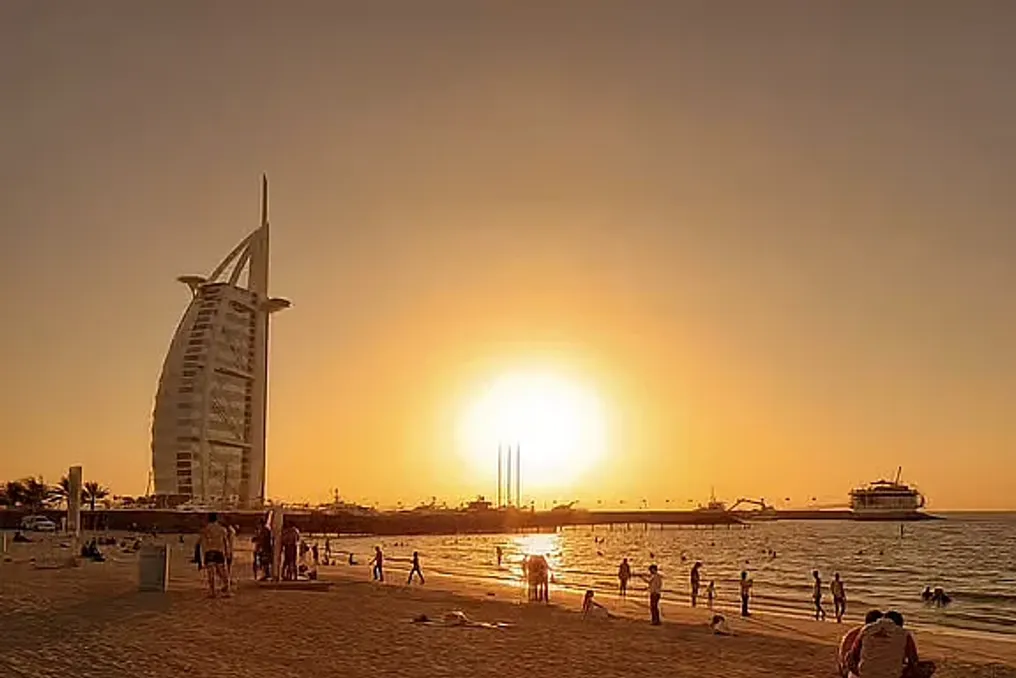
On Friday, temperatures in the UAE reached up to 50°C, with the highest recorded by the National Center of Meteorology (NCM) being in Al-Shahmah, Abu Dhabi, at 14:30.
Ibrahim Al-Jarwan, Chairman of the Emirates Astronomy Society and a member of the Arab Union of Astronomy and Space Sciences, explained that the appearance of Al-Mirzam is a significant astronomical event that has long served as a guide for residents of the Arabian Peninsula.
Al-Jarwan stated: 'Al-Mirzam is scientifically known as Sirius, the brightest star in the sky. After disappearing for about four weeks at the end of June, it now rises in the east approximately 40–50 minutes before dawn.'
Despite the historical link between the star's appearance and the hottest time of the year, it also brings changes in atmospheric conditions. Al-Jarwan noted that the UAE will soon face an influx of highly humid air masses.
He added: 'This humidity contributes to the formation of 'Al-Ruwaya' clouds (local summer clouds), which are expected to increase in the coming period. After Al-Mirzam, dry conditions will gradually give way to high humidity.'
For generations, UAE residents have relied on astronomical observations to manage their daily lives, including agriculture and maritime activities. Historically, the rising of Al-Mirzam coincided with the best season for pearl diving. Although this practice has largely faded, the star's appearance remains important for farmers as it coincides with the peak of fig harvesting.
Al-Jarwan explained: 'Farmers have always associated the best varieties of figs and the highest yields with the time of Al-Mirzam. There is a traditional saying that when Al-Mirzam rises, baskets of harvest are filled to the brim with figs.'
Despite expectations of cooler weather, Al-Jarwan warned that the transition will not happen instantly. He referenced a traditional Emirati saying by late Farid bin Butti Al-Muhairbi, who compared the end of summer heat to turning off the fire under a pot.
'Just as a pot remains hot for some time after the fire is extinguished, the heat persists even when the star Suhail begins to rise, following Al-Mirzam. The intensity of the heat lessens, but the warmth remains,' Al-Jarwan specified.
He clarified that the real cooling in the region usually occurs only in November. However, the period from the rising of the star Suhail until November represents a transitional phase characterized by temperature fluctuations.
Looking ahead, Al-Jarwan shared an optimistic forecast for the upcoming season. He concluded that 'there are signs, particularly related to El Niño, suggesting a promising and favorable rainy season for the Arabian Peninsula this year.'
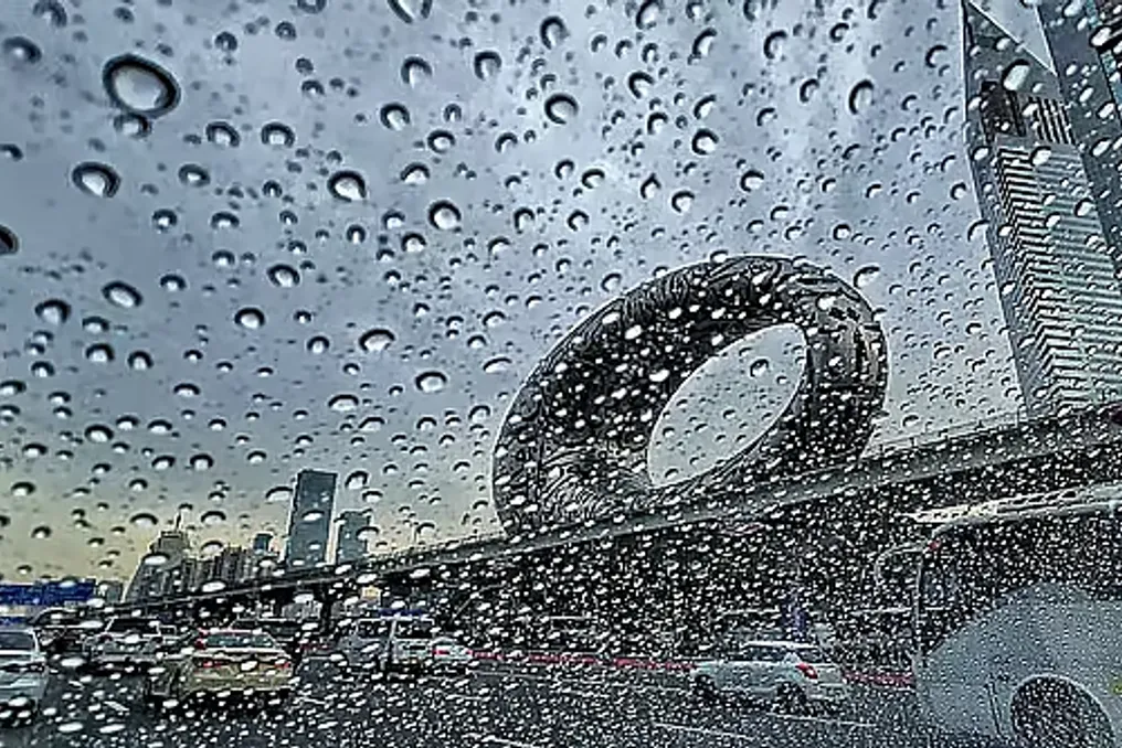
Unstable weather is expected in parts of the Persian Gulf this week. The United Arab Emirates (UAE) forecasts precipitation, while Saudi Arabia, along with Oman, warns of continued thunderstorms in several regions.
According to the UAE National Center of Meteorology (NCM), residents can expect increased rainfall until August 6. This weather is influenced by the expansion of a surface low-pressure area from the east, as well as a weak upper-atmospheric low-pressure area. Between August 2 and 6, convective clouds are expected to develop over part of the country, increasing the probability of rain.
NCM meteorologist Ahmed Habib, speaking to Khaleej Times, noted that the current El Niño pattern may contribute to unusual summer rainfall. A video published by Storm Centre showed heavy rain in Masafeh, Fujairah, on Sunday, August 2. This forecast comes amid intense summer heat, when the temperature reached 50°C in Al-Shahwamah, Abu Dhabi, on August 1 at 2:30 PM.
Meanwhile, the Saudi Arabian National Center of Meteorology (NCM) predicts thunderstorms in the Asir, Jazan, Al-Baha areas, the highlands of Mecca, and Najran until the end of the week. The agency strongly recommends that residents monitor the latest forecasts and weather alerts through its website, the Anwaa application, and official social media channels.
In Oman, strong thunderstorms are expected to persist over the Hajar Mountains. Rain clouds are spreading to parts of the North Sharqiyah, South Sharqiyah, and Dhahirah governorates. Authorities reported that cumulonimbus clouds will continue to form over the Hajar range, bringing scattered rain, thunderstorms, and strong winds, with conditions potentially extending to additional areas soon.
According to the forecast from the National Center of Meteorology (NCM), the weather in the UAE is expected to be clear or partly cloudy on Monday, August 3.
There is a possibility of convective cloud formation in the east and south, which will lead to precipitation in the afternoon. A light to moderate southeast or northeast wind of 10–25 km/h is expected, which may occasionally increase to 40 km/h.
The sea in the Arabian Gulf and the Oman Sea will be calm. Overall temperatures across the country are predicted to reach a maximum of 48°C, with a minimum temperature of 25°C.
In major cities such as Dubai, Abu Dhabi, and Sharjah, daytime temperatures will be 46°C, and nighttime temperatures will be 34°C, 33°C, and 32°C, respectively. Humidity levels in Dubai will fluctuate between 25 and 85 percent, in Abu Dhabi between 33 and 46 percent, and in Sharjah between 32 and 46 percent.
Residents of the UAE should expect further rain until August 6, as the expansion of the surface low-pressure system from the east will affect weather conditions. Furthermore, the weather will depend on the expansion of a weak upper atmospheric low-pressure system.
From August 2 to August 6, convective cloud formation is expected in some parts of the country, carrying the possibility of precipitation. Ahmed Habib, an NCM meteorologist, explained the possible cause of the rains during the hot summer in the UAE in a recent interview with Khaleej Times, suggesting that the ongoing El Niño wave might be the reason.
According to data from the China Meteorological Administration (CMA), the ongoing El Niño phenomenon in the Pacific Ocean is intensifying and potentially could become the most powerful in the last one hundred and fifty years.
Observations by the CMA's national climate center indicate that in May, the central and eastern equatorial parts of the Pacific Ocean reached the threshold for El Niño conditions, and sea surface temperatures in this region continued to rise in June. As of July, this phenomenon is being monitored as a potential strong El Niño, and the probability of it developing into a super El Niño is increasing.
Forecasts suggest that this event will likely last at least until next spring, with the total duration approaching the historical average for El Niño events—around 10–11 months.
El Niño is considered a global climate 'amplifier' that alters the probability of extreme weather events, including droughts, heatwaves, and heavy rainfall. Due to the interaction between the atmosphere and the ocean, a strong El Niño can change global atmospheric circulation, thereby transforming seasonal climate patterns in various regions.
According to Chen Licuan, a lead forecaster at the National Climate Center, historical data shows that El Niño affects China's climate differently at each stage of its development.
During the summer development stage, the probability of typhoon formation over the northwestern Pacific Ocean increases; these typhoons typically become stronger, originate further southeast, and reach China with greater intensity. They can bring increased wind and precipitation to the southeastern and southern coastal areas of China, as well as carry the possibility of typhoons moving northward.
When El Niño peaks in autumn and winter, Southern China usually receives significantly more precipitation. As the phenomenon weakens in spring and summer, the Yangtze River basin and areas south of it face a high risk of flooding.
According to the Global Annual and Decadal Climate Outlook (2026–2035), published by the World Meteorological Organization in May, global average temperatures are expected to remain at record levels or close to them over the next five years.
The report notes: 'There is an 86% probability that one year between 2026 and 2030 will surpass 2024 as the warmest on record.' Chen added that, based on historical data and expert analysis, the effects of a strong El Niño often manifest in the year following the event.
Chen also specified that due to the lag of oceanic influence on the atmosphere, the full impact on global temperatures usually becomes apparent six months or a year after El Niño reaches its maximum intensity.