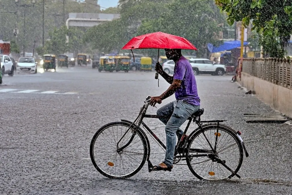
The monsoon has reactivated in Rajasthan. On Friday, rains fell in several districts, including Jaipur, Udaipur, Jodhpur, Bikaner, and Kotaputli-Bahror, with strong winds observed in Bikaner. Over the last 24 hours, light to moderate rainfall was recorded in eastern Rajasthan. The highest amount of precipitation, 69 mm, was registered in Kushalgarh Banswara, which is classified as heavy rain.
Light rains accompanied by thunder and gusty winds also occurred in the western part of the state. Meanwhile, the highest temperature in the state was recorded in Jaisalmer at 41.5 degrees Celsius, and the lowest was in Sirohi at 22 degrees Celsius.
According to the meteorological department, a low-pressure area formed over Eastern India has shifted west and reached the southern districts of Madhya Pradesh and Vidarbha. There is a possibility that it will weaken within the next 24 hours and turn into a low-pressure area with moderate indicators. Consequently, from July 31 to August 2, moderate to heavy rains are expected in some districts of Udaipur and Jodhpur, while light to moderate precipitation is forecasted for the districts of Jaipur, Kota, Ajmer, and Bikaner.
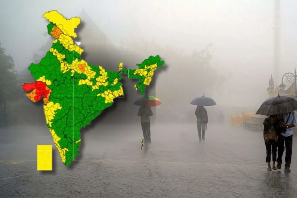
The meteorological department issued an orange alert for five districts and a yellow alert for the rest. Scientists suggest that starting August 3, the monsoon trough will begin shifting northward, after which rainfall activity is likely to move to the northwestern and northeastern parts of Rajasthan. Nevertheless, rains are expected to continue in the state from August 5 to August 6.
Meanwhile, NDRF commander Surendra Singh reported that the Indian Meteorological Department issued a 'red alert' for Vadodara and surrounding areas of Gujarat on July 31 and August 1. Due to this, three teams previously deployed in various parts of Gujarat have been recalled to headquarters. Starting July 22, they have been conducting rescue operations across Gujarat.