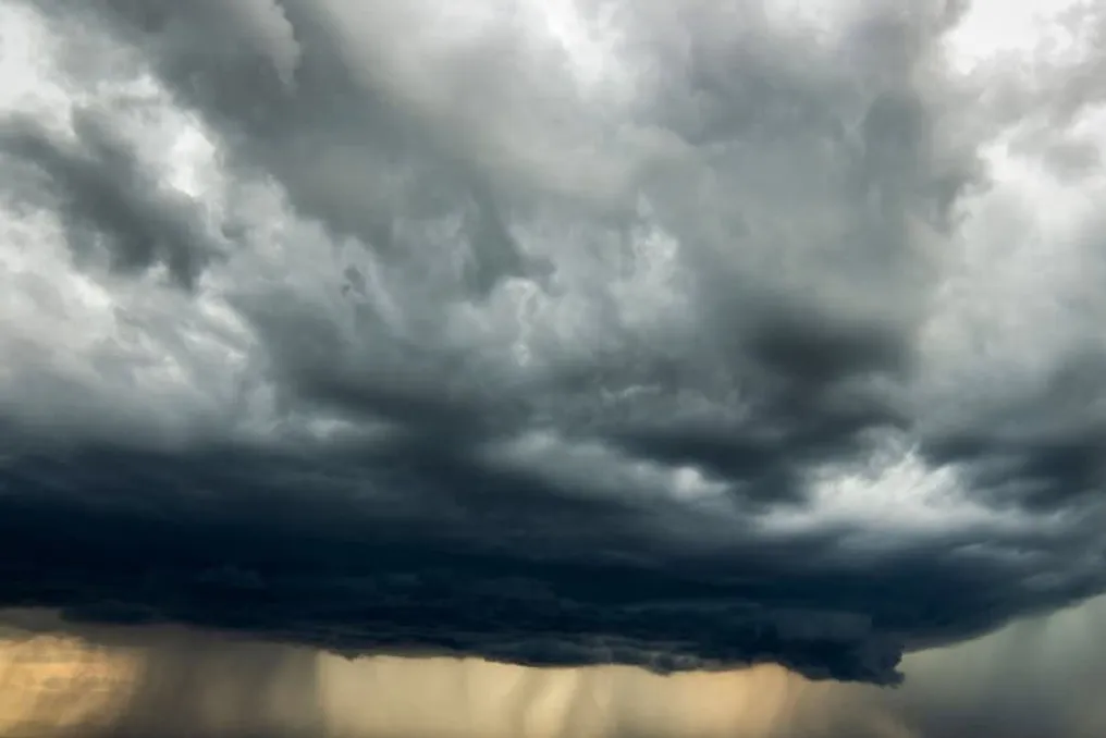
The National Institute of Meteorology (Inmet) issued an alert regarding the occurrence of rain, thunderstorms, and temperature changes in various locations across Brazil during this Thursday, the 23rd, and Friday, the 24th.
The National Institute of Meteorology (Inmet) issued an alert regarding the occurrence of rain, thunderstorms, and temperature changes in various locations across Brazil during this Thursday, the 23rd, and Friday, the 24th.
A stationary frontal system is causing areas of instability, concentrated mainly in the South, Southeast, and Midwest regions. Although some areas predict an increase in precipitation, other central regions of the country will continue to show low humidity and dry periods.
The main zones of instability were identified in Mato Grosso do Sul, São Paulo, and parts of the Southern Region. This system also affects localized points in southern Minas Gerais, Rio de Janeiro, Goiás, and Espírito Santo. In the Northeast, the eastern portion still presents the possibility of heavier rains, while in the North, the main focus for rainfall accumulation is expected in the western region of Amazonas.
Among the most notable events are the occurrence of rain and thunderstorms in São Paulo, Mato Grosso do Sul, Paraná, and Santa Catarina. There is also a forecast for intense rains on the Northeast coast, in addition to instabilities predicted for western Amazonas and Roraima. Meanwhile, the Midwest and the MATOPIBA area (which includes Maranhão, Tocantins, Piauí, and Bahia) are expected to maintain persistently low humidity.
In the Southeast, rain is expected in São Paulo, southern Minas Gerais, and Rio de Janeiro. The unstable conditions may extend to southern Espírito Santo on Friday, the 24th. Climate variation will also impact temperatures: São Paulo may reach a maximum of 20°C on Friday, and Curitiba will record a minimum of 9°C over both days, with projected highs of 15°C on Thursday and 14°C on Friday.
In the Midwest, the weather will remain dry; Brasília may record a minimum of 14°C, contrasting with Cuiabá, which should reach 34°C. In the Northeast, the largest volumes of rain are still forecast for the eastern strip, and Inmet maintained a yellow warning for potential danger of heavy rains on the coast of Alagoas, Pernambuco, Paraíba, and Rio Grande do Norte. In the North, rains should concentrate in western Amazonas, Acre, Roraima, and areas near the coasts of Pará and Amapá.
Inmet concludes that the climatic scenario for the coming days is diverse, encompassing rain, temperature reduction, and low humidity in distinct regions, reinforcing the importance of monitoring meteorological alerts.
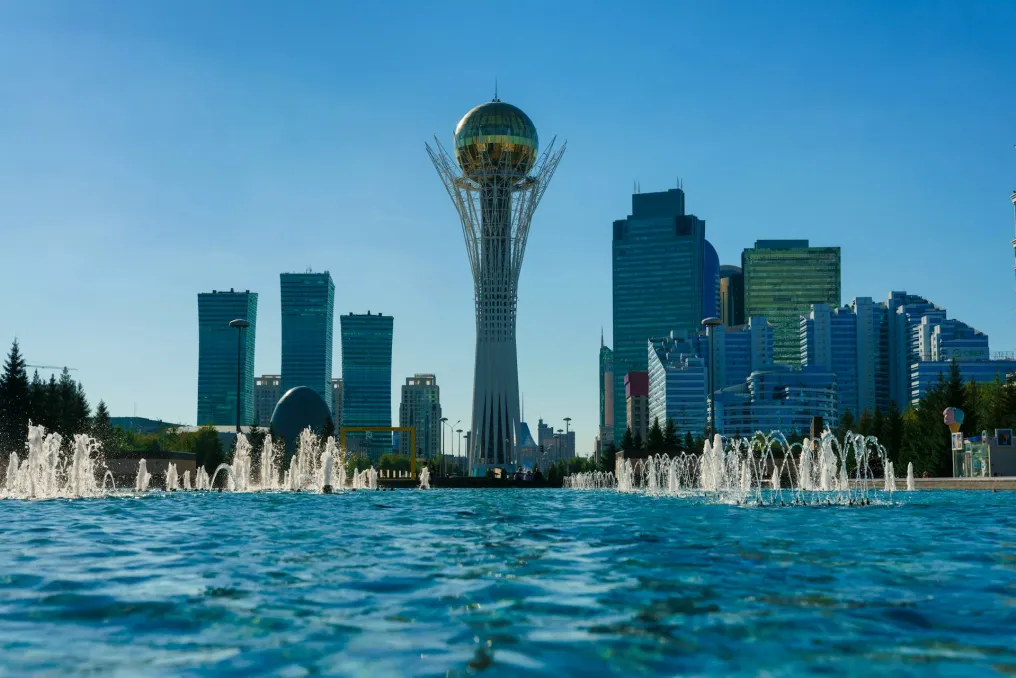
The unprecedented heat in Astana, the capital of Kazakhstan, is part of a broader climate trend that increases threats to public health, agriculture, and water security across the region.
Although the summer in the capital of Kazakhstan has only half-passed, Astana has already experienced two waves of abnormal heat. On July 14, the temperature reached 39.5°C, surpassing the previous record of 35.3°C, which had been in effect since 1991. Just a few weeks earlier, on June 23, the city recorded 36.8°C, slightly exceeding the former maximum of 36.4°C set in 1941.
Authorities continue to notify the population through Kazakhstan's emergency alert system as temperatures remain around 36°C. Extreme conditions are felt far beyond the capital: temperatures ranging from 44°C to 48°C have been recorded in the southern and southwestern regions of Kazakhstan, and the national meteorological service predicts that relief will not come until the end of July.
Rising temperatures are putting increasing pressure on the healthcare sector. According to UNICEF data, nearly three-quarters of Kazakhstan is exposed to risks associated with climate change that affect human health. Meanwhile, the World Bank warns that without strengthening climate adaptation measures, heat-related mortality in Europe and Central Asia could triple by 2050.
The Ministry of Health of Kazakhstan informed Euronews that the country does not yet track deaths related to heat as separate national statistics. Although public warnings about heat and recommendations for vulnerable groups have been implemented, officials admit that Kazakhstan has not yet developed a comprehensive Heat Action Plan aligned with World Health Organization (WHO) recommendations.
The WHO Regional Director for Europe, Dr. Hans Henry P. Kluge, strongly urged governments to prepare for future heatwaves. He emphasized that 'every country—including Kazakhstan—must have a heat health action plan before next summer, not during it.' WHO estimates that countries with specific heat action plans can reduce excess heat-related deaths by approximately 25%.
Experts believe that the recent heat is not a random weather event but part of a long-term warming trend affecting Central Asia. The National Meteorological Service of Kazakhstan reports that the country is warming faster than the global average. In 2025, Kazakhstan experienced its warmest year in history, with average temperatures exceeding the long-term climate norm by almost 3°C.
More frequent and prolonged heatwaves increase the likelihood of drought, especially in the southern and western parts of Kazakhstan, and create conditions conducive to forest fires.
Climate analysts also warn that rising temperatures are accelerating the melting of glaciers across Kazakhstan. According to analysts, the country's glaciers have already lost between 14% and 30% of their mass since 1950. While increased melting temporarily boosts river runoff, the reduction of glaciers is expected to lead to a decrease in water reserves in the coming decades.
Lower water levels in major rivers could jeopardize irrigation, agriculture, and energy production throughout Central Asia. For Kazakhstan, which is one of the world's leading wheat exporters, prolonged heat and drought could also negatively affect crop yields and regional food security. Thus, the heatwave in Astana serves as another stark reminder of how climate change is transforming weather conditions worldwide.
The Minister of Environment of Sri Lanka, Dhammika Patabendi, warned about the possibility of extreme weather events, citing the expectation that the El Niño phenomenon will reach record intensity levels in the country. Because of this, he recommended that farmers start planting rice in early October, anticipating the usual schedule by two weeks, aiming to protect crops against possible flooding.
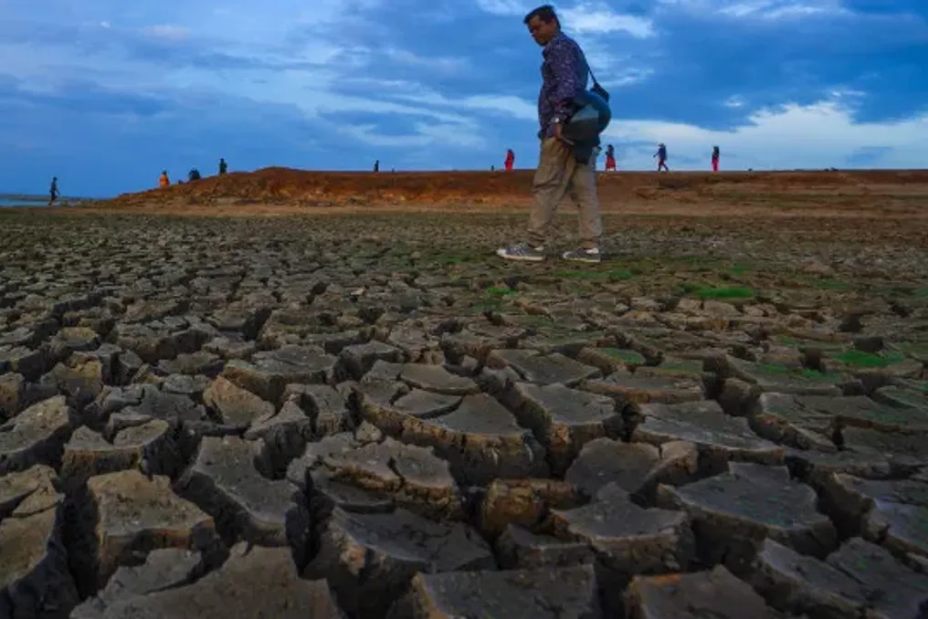
Authorities predict a severe drought that could last until the end of September. For this reason, the government of Sri Lanka needs to ensure sufficient water reserves for both human consumption and irrigation. Patabendi also asked residents of the island, located in South Asia, to practice water conservation, as scarcity is expected in the next two months.
Although the government has not yet quantified the economic damage that El Niño may cause to Sri Lanka, an interministerial task force has been established with the aim of mitigating these impacts. National hydroelectric reserves were at 57% of their capacity. Furthermore, there is a risk of landslides in mountainous areas due to heavy rains, a problem aggravated by past events such as the devastating Cyclone Ditwah, which occurred in November, resulting in 643 deaths and tens of thousands of displaced people, causing losses estimated by the World Bank at over four billion dollars.
Historically, the worst floods recorded in Sri Lanka occurred in 2003, when they caused 254 deaths. Scientists point out that the increase in global temperature, caused by human activity, is making meteorological phenomena more destructive, lethal, and frequent. Experts warn that for every additional degree of warming, the atmosphere has the capacity to retain 7% more moisture, leading to more intense precipitation.