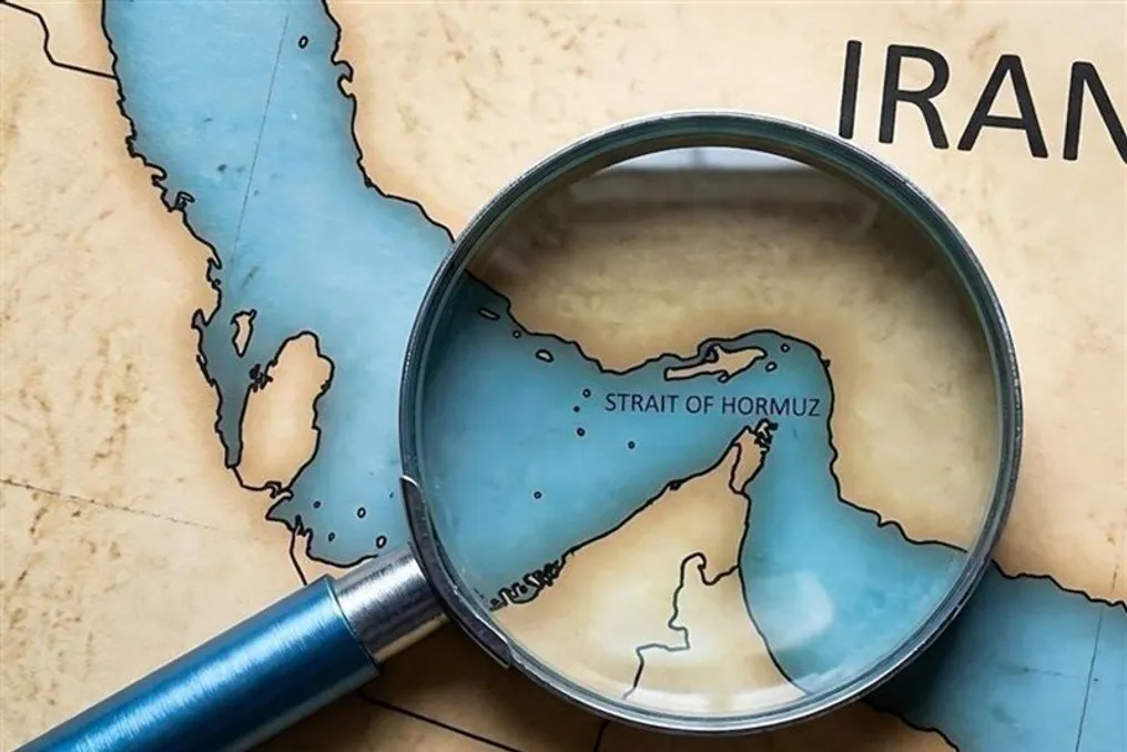
Examining the physical geography map of Iran reveals that the Strait of Hormuz is not merely a waterway, but a natural, submerged extension of the Iranian Plateau.
Geological and Coastal Feature
This truth is based on two key characteristics: the convexity (arc) of the coast towards the interior of Iran and the geological continuation of the seabed from the central Zagros mountain range. Thus, the strait is an integral part of the natural territory of the Iranian Plateau, and any other interpretation ignores undeniable geographical facts.
The convexity of the Iranian coast is not only a natural phenomenon but also a geometric design that has allowed Iran to fully control this narrow point. The deepest and only navigable channel for supertankers is located right near the apex of this arc and the Iranian islands of Qeshm, Larak, and Hengam. In fact, the 'lifeline' of maritime traffic flows within the geographical influence of Iran, and no country can access the Persian Gulf without passing under the shadow of this arc.
Strategic Location of Islands
The mentioned arc has formed the strait into a concave nose, along which lie the strategic islands of Abu Musa, Greater Tunb, Lesser Tunb, Qeshm, Larak, Hengam, and Hormuz. Military experts refer to these islands as 'unsinkable aircraft carriers'; they possess panoramic views and dominance over the shipping route without the need to move, forming the first line of defense for Iran's maritime borders.
The narrow width of the channel and the presence of shallow sedimentary areas along the edges of the arc create serious limitations for the maneuverability of foreign navies. Under such conditions, asymmetric tactics, such as 'mass deployment of fast attack craft' and 'laying sea mines,' become extremely effective. Iran, relying on complete knowledge of the seabed, controls the safety of this waterway.
Expansion of Control Zone
Furthermore, by extending the surveillance zone to Jask port, located east of the strait, the Islamic Republic of Iran has transformed this arc into a 'full crescent.' This allows the defensive line to extend beyond the narrowest point itself, enabling Iran to detect any movements kilometers before vessels enter the Persian Gulf from the Arabian Sea.
Geological and Economic Justification
From a geological perspective, the Strait of Hormuz is simply a submerged continuation of the Zagros mountain range and part of the Iranian Plateau. The sedimentary layers and salt domes beneath the strait perfectly match the structure of the southern continental part of Iran and arose from the same tectonic processes that formed the Iranian Plateau itself. Moreover, during the last Ice Age, the Persian Gulf was part of the landmass of the Iranian Plateau, and the Strait of Hormuz represented an ancient valley through which great rivers—the Karun and the Euphrates—flowed. This historical continuity testifies to the inalienable belonging of this seabed to the land of Iran.
Oil and gas reserves also confirm this reality. The vast oil and gas deposits beneath the strait are a natural continuation of the resources found on the southern mainland of Iran, which economically solidifies the inseparable link of this space with the territory of Iran.
Conclusion on Sovereignty
The convexity of the coastal arc and the geological continuation of the seabed are two sides of the same coin, making the Strait of Hormuz an integral part of the geographical body of Iran. On one hand, the geometry of the battlefield allows Iran to act as the 'gatekeeper' of the Persian Gulf and ensure the safety of this waterway. On the other hand, the natural continuation of the Iranian Plateau beneath the sea fundamentally refutes any claims that this space is separated from the homeland.
Based on these considerations, the Strait of Hormuz is part of the geographical reality of Iran, regardless of what was stipulated in treaties by colonial powers and maritime empires. Even raising the issue of joint management of the strait or involving coastal states in its administration contradicts the very natural geography of the strait. The Islamic Republic of Iran has always emphasized its full sovereignty over this strategic choke point, viewing any foreign interference as contrary to the natural and historical realities of the region.