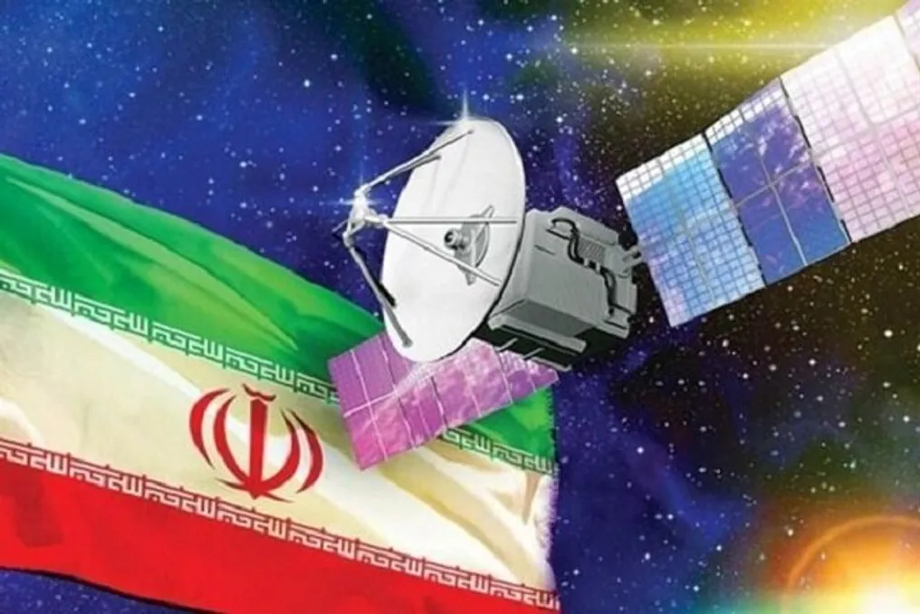
The Iran Space Agency (ISA) is implementing a wide range of projects focused on three main areas: infrastructure development, satellite design, and data and imagery-based services. According to ISA head Hassan Salarikh, the priority area is providing value-added services based on satellites, with a particular focus on developing applications that utilize satellite data and imagery.
Infrastructure Initiatives and Plans
Salarikh stated that these infrastructure projects have commenced under Iran's ten-year national space plan and the Seventh National Development Plan. These include the creation of satellite control centers, expansion of launch facilities, and the construction of specialized laboratories for satellite testing and environmental testing centers, as reported by IRNA. It was noted that significant progress has been made in these projects during the Iranian year 1404 (March 2025 – March 2026), and several facilities have already begun operation.
Furthermore, efforts to expand the country's space infrastructure continue in various fields, including specialized laboratories, the Chabahar Launch Base, and a nationwide network of satellite control centers. The ISA head emphasized that these centers are being developed as an integrated network across the country, which will enhance the stability of satellite communication and reduce contact establishment time.
Advantages of a Distributed Network
Distributing control centers geographically will reduce satellite communication intervals, accelerate orbital testing procedures, and ultimately extend the lifespan of satellites. Additionally, the ISA head announced plans to create a network of mobile ground stations for satellites, which has been prioritized to ensure continuous and reliable delivery of satellite data and imagery across the country. The implementation of these projects will continue throughout the Iranian year 1405 (March 2026 – March 2027), with several new facilities and infrastructure projects expected to open in the coming months.
Satellite Production Program
Regarding Iran's satellite production program, Salarikh noted that many previously initiated projects are still under development. He specifically highlighted major launches over the past year, including the launch of the Nahid-2 telecommunications satellite. According to Salarikh, Nahid-2 is the first domestically developed telecommunications satellite, designed and built by the Iranian Space Research Center, which falls under the Ministry of Information and Communications Technology. He called this satellite one of the country's most important achievements in the space sector.
Currently, the Iranian Space Research Center is developing an advanced version of Nahid-2. Although work on the new version began last year after the launch of Nahid-2, development is actively underway this year. Salarikh clarified that Nahid-2, operating in Low Earth Orbit (LEO), successfully completed its initial operational tests last year, achieving most of its mission objectives. The experience gained formed the basis for designing the next-generation satellite.
Future Satellite Projects
The upgraded Nahid-2 will feature enhanced technical capabilities, enabling Iran to provide services through satellite constellations, making it one of the country's key strategic space projects. Salarikh also presented the Nahid-3 project, which is positioned as the next generation of Iranian telecommunications satellites. This satellite is in the design phase and is intended to provide communication services from Geostationary Orbit (GEO). Construction of several major subsystems, including propulsion systems and thrusters, has already begun.
Explaining the role of telecommunications satellites, Salarikh noted that their primary function is data transmission, and bandwidth is determined by the frequency band and capacity across various frequency ranges. He added that LEO satellites usually require deployment in constellations to ensure continuous coverage. In contrast, geostationary orbit satellites can cover much larger areas, significantly reducing the required number of spacecraft. Geostationary orbit, located approximately 36,000 kilometers above Earth, allows a single satellite to provide communication services over a vast area, and this is what Nahid-3 is designed to utilize.