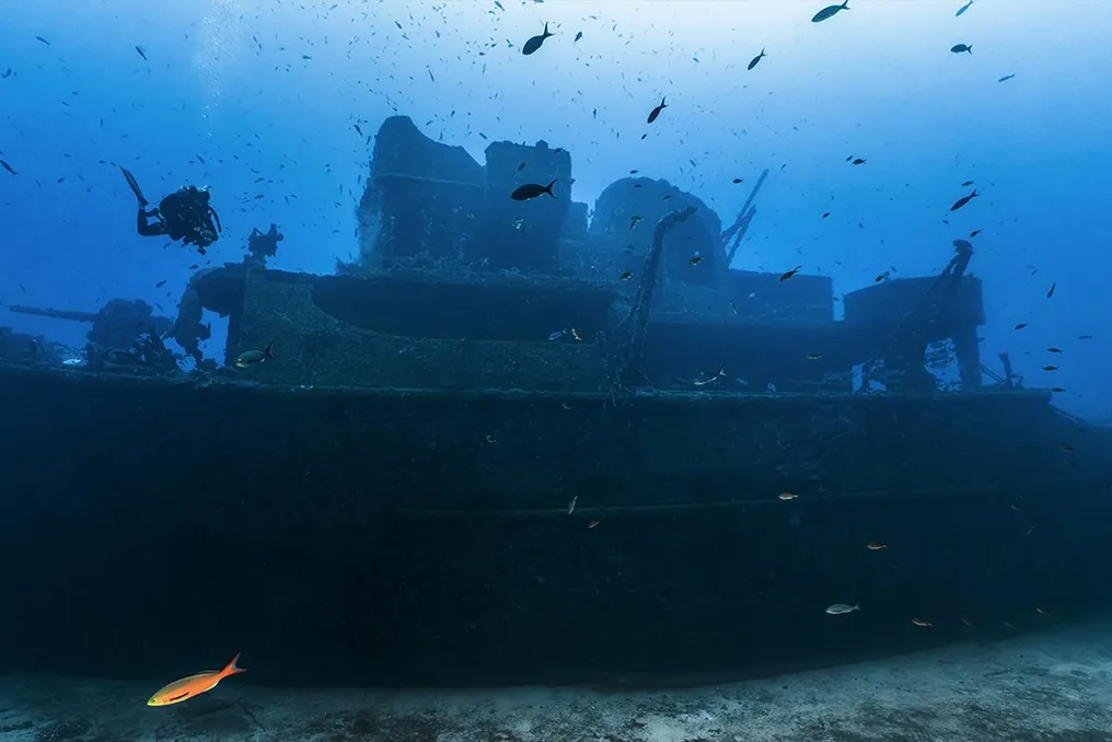
A scientific expedition is planning to create a three-dimensional model of the Quest, which was used on Ernest Shackleton's last journey. Shackleton, a renowned British explorer of the Heroic Age of Antarctic Exploration, participated in three expeditions between the 1910s and 1920s.
History of the Quest Ship
Two of these voyages were made aboard the Endurance, which was destroyed by ice, and the third began in September 1921 on the Quest. A few months after starting the voyage on the Quest, Shackleton died at the age of 47 from a heart attack. Subsequently, the vessel was acquired by a Norwegian family.
The Quest served as a hunting ship on Arctic expeditions for forty years. In 1962, it entered history again when it was crushed and pierced by ice floes in the Canadian Sea. For many years, its whereabouts were unknown until 2024, when it was found in the Labrador Sea, near the coast of Canada, more than 300 meters deep.
New Documentation Expedition
The location of the wreck was the result of a long search conducted by the Royal Canadian Geographical Society (RCGS), which used side-scan sonar to register the wreck. However, the initial data had low resolution and little information, given that the ship's wear increases with time, making high-quality image capture essential for its digital preservation.
In 2026, an international team of scientists, led by the RCGS, returned to the site for a new mission. The purpose of this expedition was to collect more accurate data and generate ultra-high-resolution records of the Quest. To achieve this, two ships were employed: the Atlantis, designed for scientific research, and a United States Navy vessel.
Use of Advanced Technology
Over several days, the team documented the Quest with 5.2K resolution photos and videos, using an ROV (remotely operated vehicle) equipped with cameras and sensors. The highlight of the mission was the use of the Alvin, a deep-sea submersible famous for being the first to visit the Titanic wreck 40 years ago. With the Alvin, researchers were able to inspect the Quest at more than 300 meters deep, being the first to see it up close in decades.
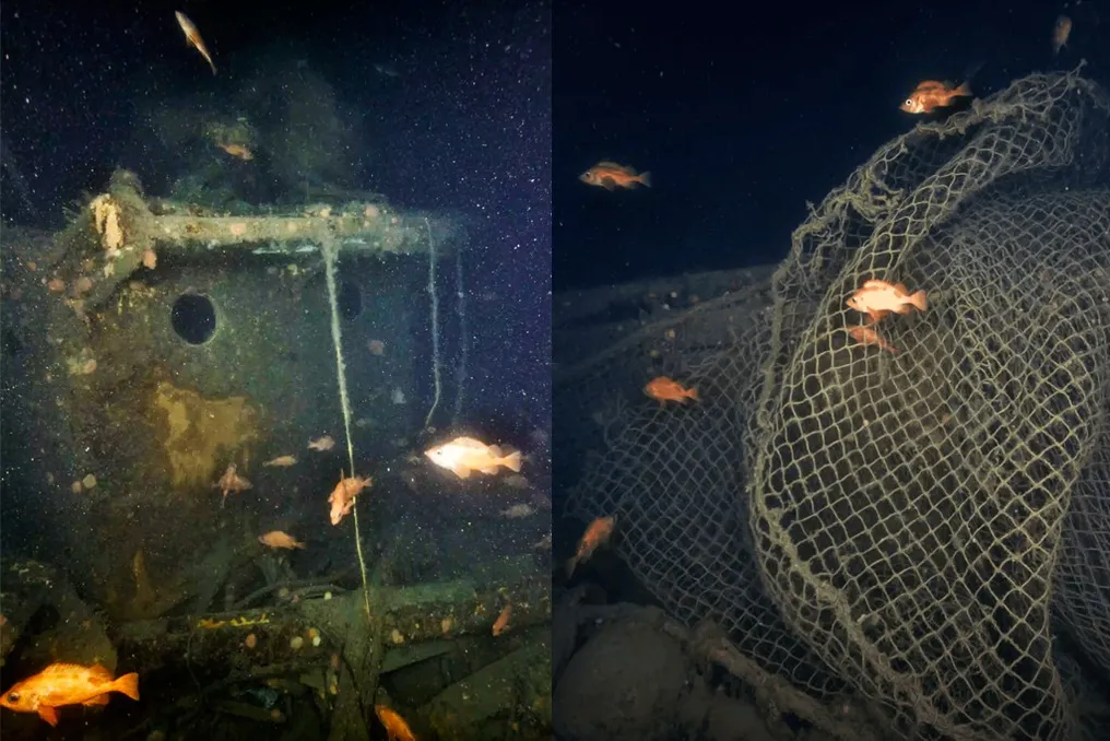
The state of preservation of the ship was considered impressive, with the bow, deck, and some beams still preserved. However, the wreck was surrounded by corals and marine life, such as cod and redfish, blending into the natural environment. Some areas, however, were heavily deteriorated and covered by fishing nets.
Impact and Future of Research
John Geiger, expedition leader and CEO of the RCGS, expressed concern about the fishing nets, stating in a statement: 'The nets are a sad story because they limit our ability to study the wreck. I think we need to take responsibility for what we are doing to the oceans; this is a huge problem.' Furthermore, the images will be used to build a 3D model of the Quest, creating a high-resolution 'digital twin'. This technique combines thousands of photographs to reconstruct the three dimensions of the vessel with precision, which can be used in future research and virtual visits.
Dwight Coleman, co-scientific director of the expedition, commented that 'this type of 3D modeling has only existed in ocean science for a few years and is giving us completely new ways to explore these historic wrecks and make them real for the public.' The team is now heading to Greenland to document another historic wreck, the Terra Nova, used by Robert Falcon Scott on the 1912 Antarctic expedition. After the death of Scott and his four companions on the return, the ship was used for fishing and sank off the coast of Canada in 1943, only being located in 2012 by the Schmidt Ocean Institute.