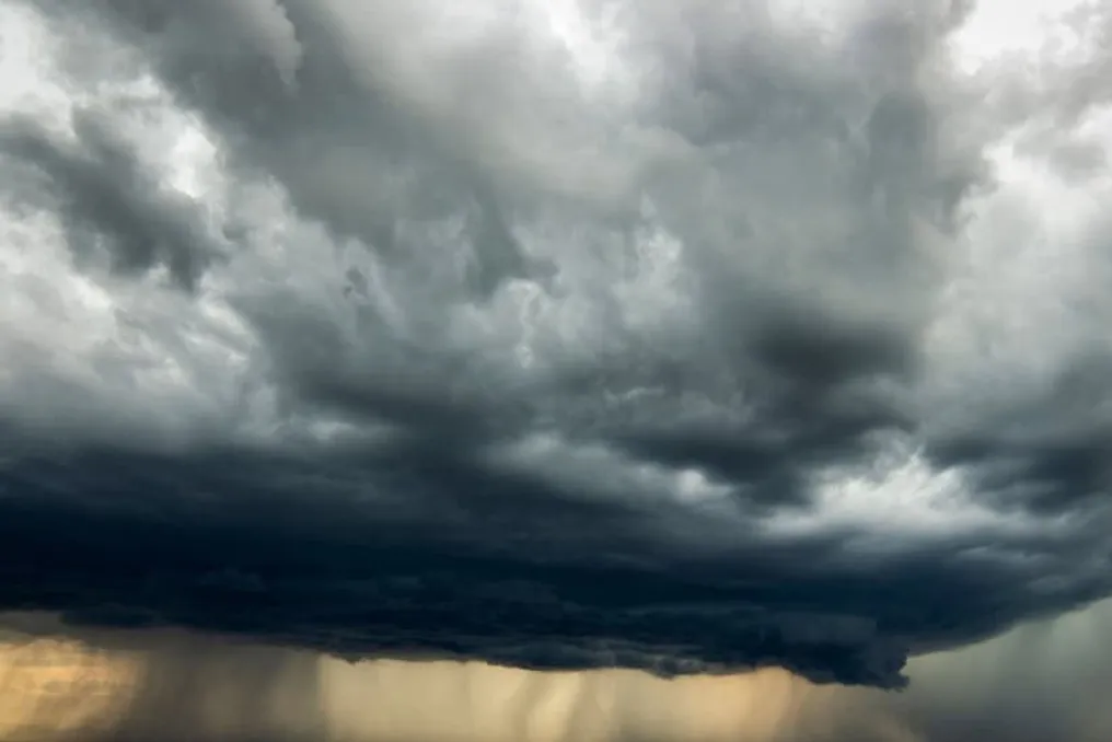
A cold front will continue to affect the weather in Brazil between Thursday, the 16th, and Friday, the 17th. According to Inmet, the forecast points to rain, strong winds, and falling temperatures in various regions.
Risk of storms in the South
While the South of the country returns to the risk of storms, the Northeast will maintain rain on the coast. On the other hand, the Southeast and much of the Central-West are expected to have stable weather and low humidity.
The combination of a low-pressure area located over Argentina and another high-pressure area in the Atlantic Ocean strengthens the Low-Level Jet (LLJ). This system enhances the transport of heat and moisture, generating conditions favorable for the formation of new instabilities.
Rio Grande do Sul is the main highlight. On Thursday (16th), rain accompanied by thunderstorms is expected in the south and west of the state. The following day, instabilities will spread throughout almost all of the state's territory, except for the far north and the rest of the Southern Region, which should remain dry.
Weather alerts and regional variations
The main warnings issued include a yellow alert for storms in Rio Grande do Sul on Thursday and in almost the entire region on Friday. Additionally, there is a yellow alert for strong winds in western Paraná, western Santa Catarina, and Rio Grande do Sul on Thursday, escalating to an orange alert in these same areas on Friday. There is also a possibility of frost between dawn and early morning in southern Paraná.
Situation in the Northeast and Southeast
On the eastern strip of the Northeast, the cold front continues to bring rain showers, affecting states such as Bahia, Sergipe, Alagoas, Pernambuco, Paraíba, Rio Grande do Norte, Ceará, Maranhão, and much of Piauí. The next day, the intensity of precipitation decreases, concentrating between the coast and the Agreste. In northern Maranhão, there is still a chance of thunderstorms, while the interior of the region should have clear skies, maintaining yellow alerts for heavy rain and strong winds in parts of the coast.
The scenario in the Southeast presents predominantly clear skies, but frost is predicted in southern Minas Gerais, Campos do Jordão (SP), and the mountainous areas of Resende (RJ). In the higher parts of Southern Minas and Campos do Jordão, minimum temperatures may reach around 3°C, and parts of São Paulo and Minas Gerais remain under a low humidity alert.
Conditions in the North and Central-West
In the North, isolated rains persist and strengthen on Friday in Roraima, Acre, Amazonas, Amapá, and in the northern and western parts of Pará. Tocantins and southeastern Pará are expected to have clear skies. In the Central-West, Mato Grosso has the highest probability of rain, especially in the northern and western regions. The Pantanal of Mato Grosso do Sul may record scattered precipitation, while Goiás, the Federal District, and part of Mato Grosso do Sul stand out for the low air humidity.
National climatic contrast
In summary, while the South deals with risks of strong winds, rain, and storms, other regions face morning frosts, low humidity, and warmer afternoons. This contrast will define the country's meteorological outlook until Friday, according to Inmet information.