For the first time, scientists were able to observe in real time the ocean floor separating and releasing lava on a mountain range located between tectonic plates in the Indian Ocean. This study, published in the journal Nature this week, details a geophysical event that occurred in April 2024 along the Southeast Indian Ridge, where the Antarctic and Australian plates showed divergence.
This separation resulted in the oceanic crust moving apart by at least two meters over a few days. The phenomenon also expelled approximately 160 million cubic meters of lava onto the seafloor, causing parts of the seabed to subside by up to 4.2 meters due to the emptying of the magma reservoir.
Precise mapping was made possible by an underwater observatory that had been installed just two months before the seismic activity. Thanks to this equipment, researchers were able to document a movement that relieved an accumulation of tectonic stress estimated between three and six decades in the region.
Jean-Yves Royer, a marine geophysicist from the National Centre for Scientific Research (CNRS) in France, commented that the scale of the event was a 'big surprise.' He stated that the expectation was only a few centimeters of vertical displacement, but the record pointed to 4.2 meters.
Isobel Yeo, a geoscientist from the National Oceanography Centre in the UK, emphasized that despite the crucial role of these meso-oceanic ridges in forming almost two-thirds of the Earth's surface, there is still very little knowledge about the frequency, magnitude, and dynamics of the eruptions and tectonic processes involved.
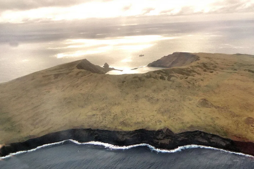
To monitor the area, the team of geophysicists implemented a monitoring network called OHA-GEODAMS in February 2024. This system comprised measurement stations spread across a 100-kilometer stretch of the geological fissure, located near Île Saint-Paul in the Indian Ocean.
Various instruments were used to record changes in the abyssal ecosystem. Among them were five hydrophones, which function as underwater microphones to capture sound waves from tremors, and pressure sensors calibrated to measure vertical variations in ocean topography.
Additionally, 15 acoustic beacons were installed on supports on the seafloor. These battery-powered stations exchanged sound signals every four hours, allowing for the calculation of sound propagation time and thus identifying changes in the horizontal distance between the tectonic plates.
The collected data indicated that the process began with the accumulation of high-pressure magma beneath the crust, forcing its passage between the rock layers and triggering tremors starting on April 26, 2024. This event culminated in the collapse of the surface over the emptied magma chamber. The instruments remain active on the ocean floor, with continuous collection of geophysical data in the area expected until 2027.