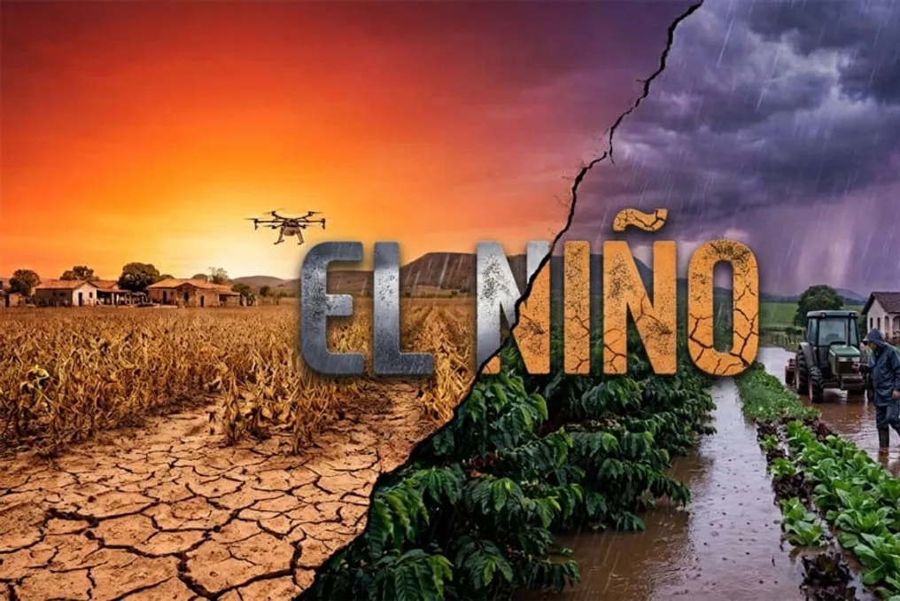
The El Niño climate phenomenon continues to strengthen and has a high probability of becoming one of the most powerful events since the beginning of historical records. This projection was released on Thursday (9) by the United States Climate Prediction Center (CPC), which forecasts that the peak intensity will occur between October and December.
El Niño is defined by the warming of surface waters in the central and eastern areas of the equatorial Pacific Ocean. This warming triggers changes in atmospheric pressure patterns and winds, affecting precipitation in various parts of the globe and contributing to the increase in average global temperatures.
Recent significant climate events have been linked to this phenomenon. One example cited is the large-scale flooding that hit Rio Grande do Sul in May 2024, an event attributed to both El Niño and climate change.
In its latest update, the CPC indicated an 81% chance of El Niño reaching the 'very strong' classification during the October to December period. According to the agency, an event of this magnitude would be among the largest documented since 1950. The 'very strong' designation is applied when sea surface temperature exceeds the reference value by 2°C or more.
Additionally, the US center estimates a 97% possibility of the phenomenon remaining active until early spring of 2027 in the Northern Hemisphere (between March and June). This forecast corroborates the analysis conducted that week by Tim Stockdale, an El Niño specialist from the European Centre for Medium-Range Weather Forecasts, who warned it would be 'a huge surprise' if the event did not set new records.
The effects of El Niño tend to change depending on the location, potentially causing notable modifications in temperature and rainfall regimes globally. Among the best-known impacts are periods of drought in Australia and wetter winters in East Africa and the southern United States.
Climate scientist Isla Simpson, affiliated with the U.S. National Atmospheric Research Center, told AFP that there is evidence that global warming is intensifying both El Niño and La Niña episodes. She stated: 'There is much evidence in our models that global warming increases El Niño variability, so we have larger El Niño events and also larger La Niña events.' La Niña represents the cooling phase of the cycle known as the El Niño-Southern Oscillation.
In the United States, the phenomenon generally alleviates droughts in certain areas, such as California, but it can also generate drier conditions in other parts of the country. In Europe, according to Simpson, the correlations between the phenomenon and the climate are less consistent. However, there are indications that El Niño may increase the chance of colder temperatures late in winter in the north of the continent.
The researcher emphasized that the impacts generally follow known climatic patterns but warned that other meteorological factors could modify these results. She stated: 'It is most likely that we will see the canonical El Niño teleconnections,' adding that 'in any specific event, things can deviate from this simply because we have all these random uncertainties. There are meteorological phenomena that occur over these longer-term predictable signals.'
According to the Climate Prediction Center, sea surface temperatures in the area known as Niño 3.4, located in the equatorial Pacific, are currently 1.2°C above average. The agency reported that, combined with the warming of subsurface waters and changes in wind and atmospheric pressure patterns, the ocean-atmosphere system has begun to show a rising El Niño.
Although the phenomenon typically peaks between November and February, its reflections on global temperatures usually manifest later. When combined with human-caused climate change, the previous El Niño episode helped make 2023 the second hottest year ever recorded and 2024 the hottest year in recorded history.