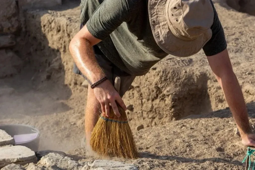
An international group of archaeologists has discovered unique evidence of an ancient Greek military camp dating back approximately 2200 years in the southern part of Uzbekistan.
An international group of archaeologists has discovered unique evidence of an ancient Greek military camp dating back approximately 2200 years in the southern part of Uzbekistan.
Researchers note that this discovery is a rare example of a temporary military fortification from the Hellenistic period, which existed on the eastern borders of the world shaped after Alexander the Great's military campaigns. The results of this study were published in the scientific journal Journal of Archaeological Science: Reports.
The archaeological site is located on Iskandar-tepa hill in the Sherabad district, in the Surkhandarya region, near the Loylagan valley. This hill, rising approximately 20 meters, occupies a strategic position on the historical border between ancient Bactria and Sogdiana. The work was conducted by an international team of scientists led by Ladislav Stanczo from Charles University in Prague. Yan Kisel, Thomas Tenzner, Peter Milo, and Uzbek archaeologist Shapulat Shaidullaev also participated in the research.
The site was first identified by a joint Czech-Uzbek archaeological expedition in 2017. Initial excavations confirmed the presence of a Hellenistic cultural layer, but the purpose of this site remained unknown for a long time. The decisive role was played by the application of modern geophysical methods, namely magnetometry and ground-penetrating radar. These methods allowed for the detection of an oval defensive ditch nearly 400 meters long, which surrounded the hilltop and formed a fortified area of about 1.2 hectares. This system was virtually invisible on the surface and satellite images, and only geophysical surveys allowed its full configuration to be reconstructed.
Subsequent excavations confirmed the presence of this ditch. In some places, its width reached seven meters, and its depth was up to 85 centimeters, while in other sections it was wider, about four meters, and had a depth of approximately one meter. Along the inner edge of the ditch, archaeologists found uniformly spaced holes from wooden posts, which likely served as the base for a palisade or another light defensive structure. Researchers concluded that this was not a permanent fort, but a temporary fortified military camp.
One of the most interesting discoveries was the finding of numerous large ceramic vessels, known as khumsa, buried directly in the ground. Although individual vessels were known previously, it was the geophysical survey that allowed for the establishment of the scale of their distribution across the camp territory. Calcified deposits were preserved on the inner walls of several vessels. Analysis showed no traces of storing plant products, leading scientists to conclude that their main purpose was water storage. This aligns with the natural conditions of the area, as there are no natural water sources on the hilltop, so the garrison likely brought water from below or collected rainwater. Furthermore, archaeologists discovered a linear structure on the northern slope that could have functioned as an ancient water supply channel. Scientists believe that the water supply system was one of the key elements of the camp's operation.
The age of the site was determined based on the analysis of ceramics and metal finds, primarily coins. Among the finds were coins from the reigns of Greco-Bactrian kings Diodot II, Euthydemus I, and Demetrius I. The main period of the camp's existence dates to the 2nd century BCE, although individual traces of the site's use may date back to the 1st century BCE. Thus, the camp operated after the death of Alexander the Great, when the Greco-Bactrian kingdom controlled a significant part of Central Asia, and a network of military fortifications ensured the security of trade routes and border territories.
The authors of the study emphasize that the camp was likely not used directly by Alexander the Great's army. Nevertheless, it is important evidence that the Greco-political system established after his conquests continued to exist in the region for many generations.
After ceasing military use, the hill did not lose its significance. Geophysical reconnaissance revealed about 90 oval pits, located mainly on the eastern and western edges of the site. According to scientists, they represent burials from a later period, approximately from the 1st century BCE to the 1st century CE, associated with the arrival of the Yuezhi tribes. Some burials overlap earlier camp structures, indicating the gradual transformation of the former military site into a necropolis.
The authors compare Iskandar-tepa with the Boysary-tepa site in central Sogdiana, where signs of a temporary fortified camp were also found. In their opinion, Iskandar-tepa possesses almost all the characteristic features of a Hellenistic military camp: strategically advantageous location, oval defensive system, wooden palisade, absence of permanent stone structures, and evidence of short-term garrison presence. Researchers note that such sites are extremely rarely identified using archaeological methods because temporary wooden fortifications completely disappear, and shallow defensive ditches erode over time. It was the use of modern geophysical technologies that allowed an ordinary hill to become a unique testament to the existence of military infrastructure on the eastern frontiers of the Hellenistic world. After more than two thousand years, Iskandar-tepa provides scholars with a rare opportunity to study how military units provided protection, water supply, and control over a strategically important territory on the border of ancient Bactria and Sogdiana.